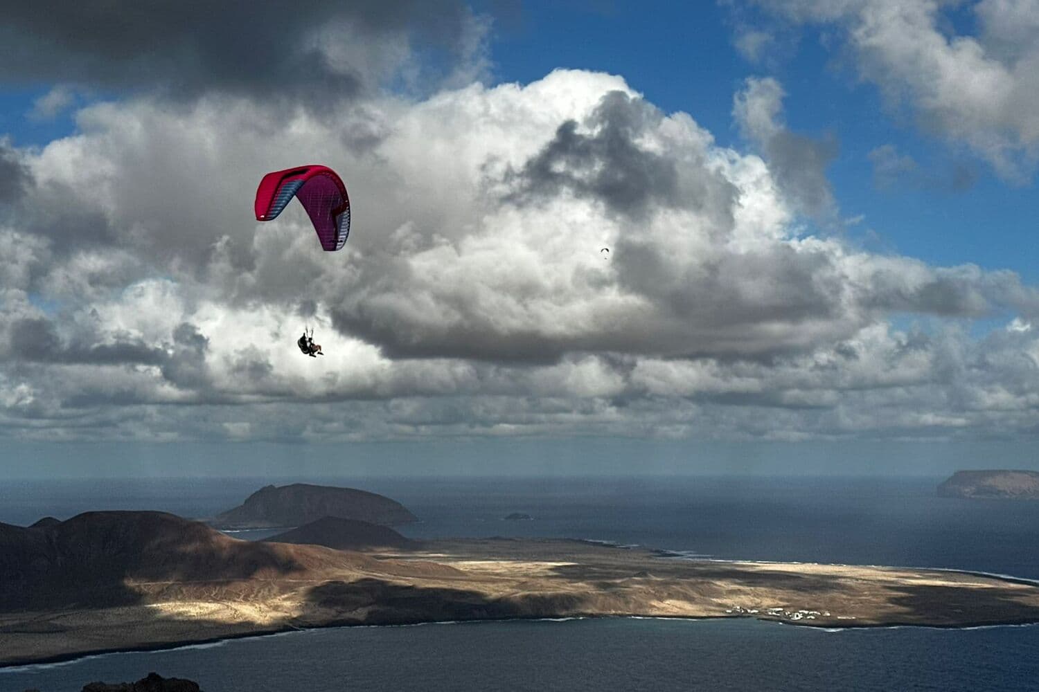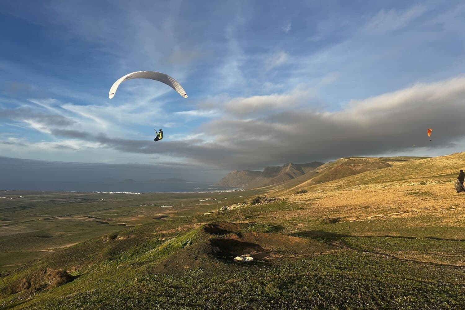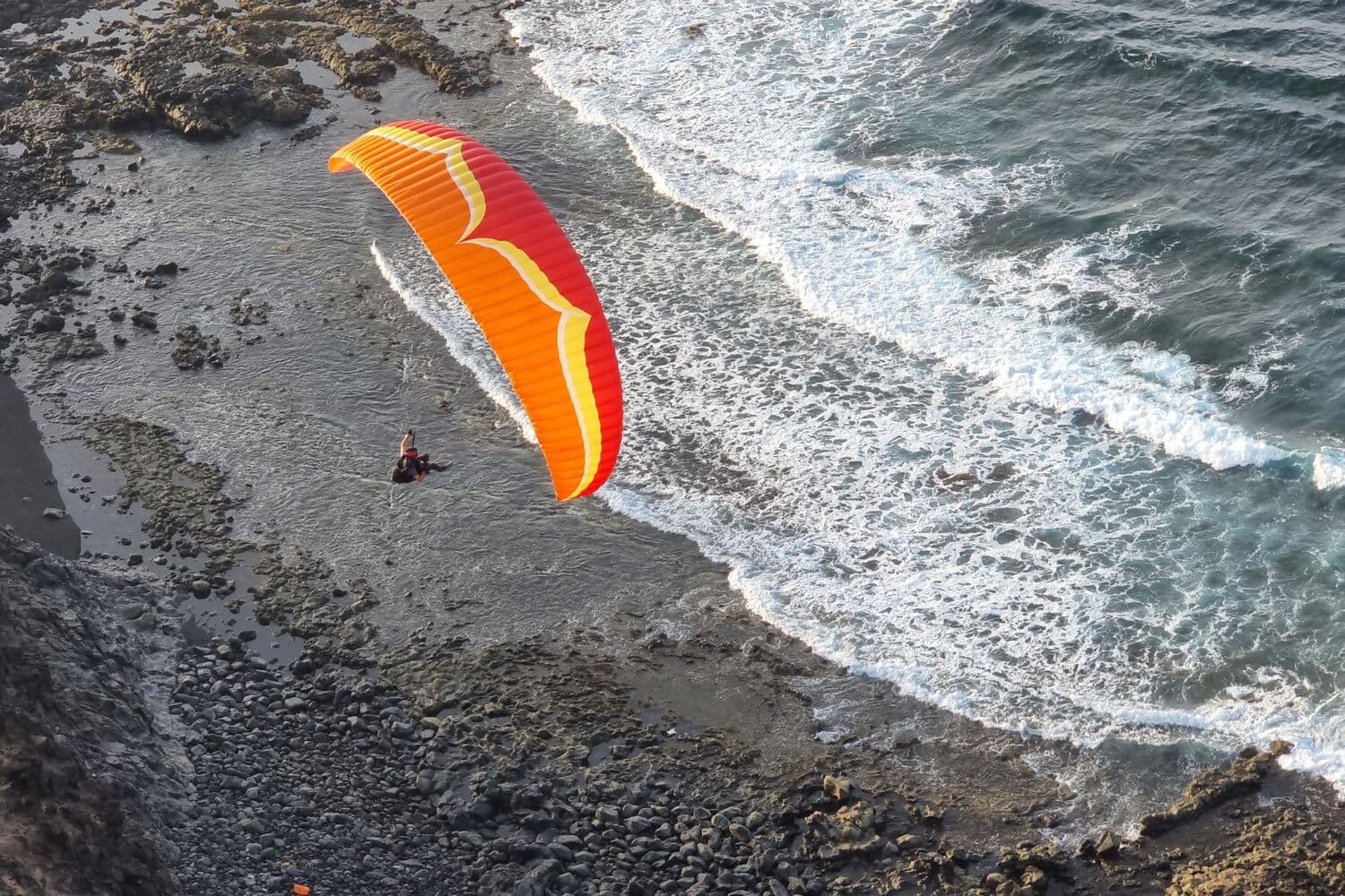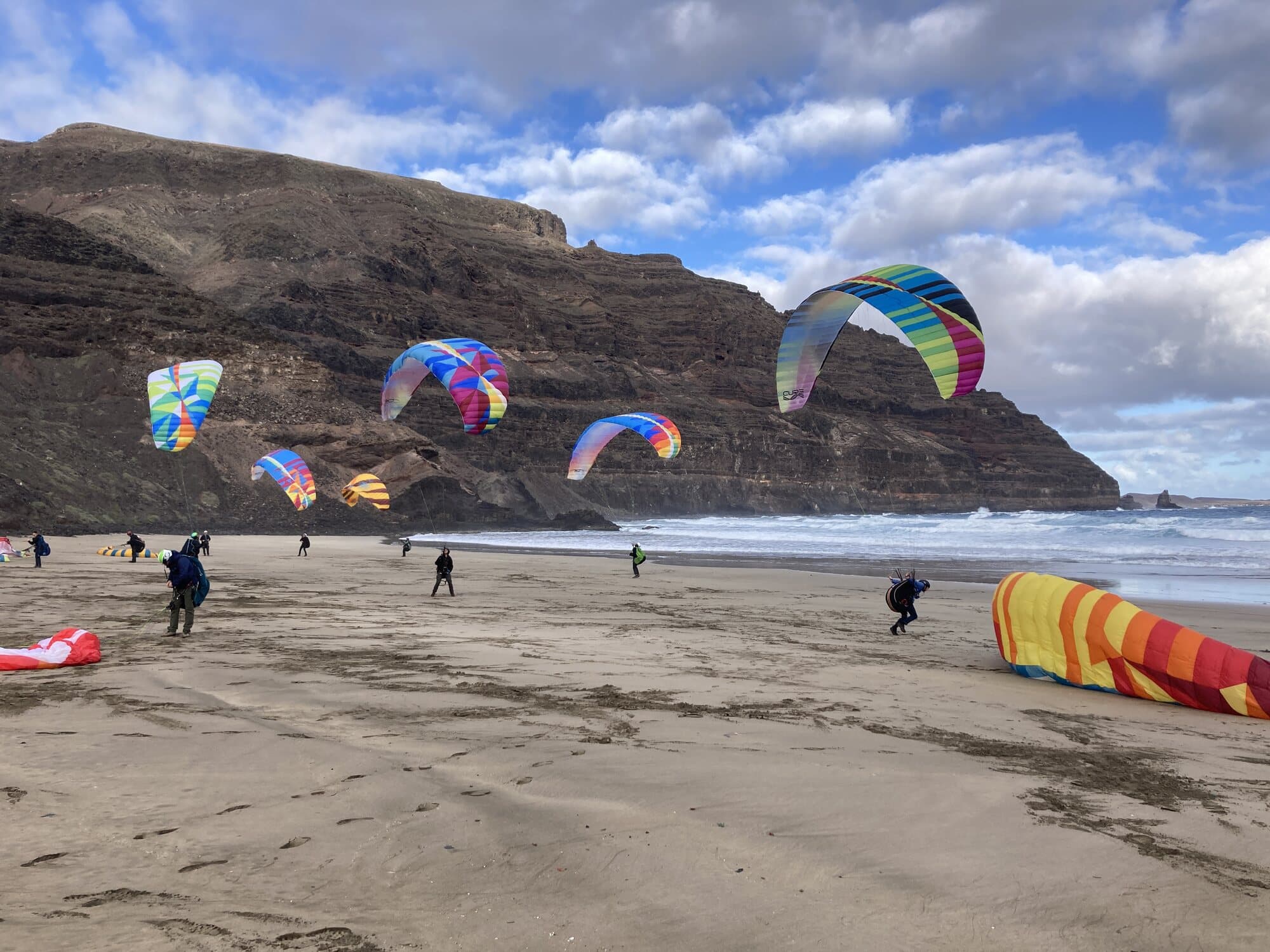
Bringing your own wing to Lanzarote is straightforward: the island is about 60 km long, the sites are a short drive apart, and the trade winds give you soaring on many days. What follows is what we would tell a friend before their first trip: the paperwork, the airspace, the closures, and how the sites actually work on the ground.
Licence and insurance
Spain has no state licence for free flight. The Spanish free-flight association AVLE puts it plainly: there is no official qualification, and only commercial flying (teaching, paid tandems) needs one. It still strongly recommends that you carry insurance and your pilot qualification from home, and so do we.
In practice, bring:
- Your licence and an IPPI card. The FAI's IPPI page for Spain says the card is accepted. Schools, and anyone you fly with, will want to know your level.
- Third-party liability insurance that covers Spain. The same FAI page gives €150,000 of third-party liability cover as the minimum and recommends rescue cover too. That page dates from 2018, so check the current figure with your federation or insurer, and check that your policy names Spain or "worldwide".
- Reserve, helmet and radio. The guide lists all three for every site.
We have not found anything saying a visitor needs Spanish federation membership. If your home insurance falls short, the Canary federation's (FECDA) licence includes liability cover; ask them whether you can take one as a visitor.
Airspace
This is the part to take seriously. Lanzarote's airport sits on the east coast near Arrecife, and its controlled airspace covers more of the island than most visitors expect. From the official AIP:
- CTR Lanzarote: class D, surface to 3,500 ft. A 10 NM circle around the airport, plus an extension that reaches north over the middle of the island.
- ATZ Lanzarote: class D, surface to 2,800 ft, a 6.5 NM circle around the airport.
- TMA Canarias: class D from 1,000 ft above ground (or 1,650 ft above sea level, whichever is higher) up to FL145 (ENR 2.1). Outside the CTR, that puts the top of uncontrolled airspace at roughly 300 m above the ground, which is the "300 m" limit pilots in the Canaries talk about.
When we plot our sites against those published limits, Macher falls inside the ATZ, and the Famara takeoffs (Los Pechos, Chimida, Las Nieves) and Mala fall inside the CTR's northern extension. Tenesar, El Cuchillo, Playa Quemada, Órzola and the southern sites are outside it. We have not found a published agreement for free flight in the Lanzarote CTR. Before you fly the sites inside it, ask a local school or the pilots on the hill how it is handled, and load current airspace into your instrument.
Two more areas are on the chart:
- GCR150 Timanfaya National Park: overflight prohibited from the surface to 3,500 ft, all year (ENR 5.1). It sits between Tenesar and the south; do not cut across it.
- GCD15 Montaña Bermeja: a danger area for firing exercises, active when announced by NOTAM.
Closures and protected areas
- Órzola is closed from 15 February to July for the bird nesting season, as the guide notes.
- The Famara cliffs are a protected area for birds (BirdLife). Keep clear of the cliff face away from the soaring line, and do not land or walk on it.
Getting to the sites
You need a car. Most takeoffs are reached by tracks rather than roads:
- Mala: a dirt track of about 3 km from the village; the guide recommends a 4x4 after rain.
- El Cuchillo: about 1 km of dirt track from the village.
- Los Pechos: sandy tracks, 4x4 in some spots. You park at the top takeoff.
- Playa Quemada: park on the LZ-706 and walk up.
Hire-car contracts often exclude dirt tracks, so read yours. Some sites let you top-land beside the car (Los Pechos, Mala, Playa Quemada); at Famara you usually land on the beach and need a lift back up, so fly with someone or arrange a retrieve before you take off.
Hazards worth knowing in advance
- The lee behind the Famara shoulder. In north to north-west wind it is dangerous to cross low below it. Stay high, or come forward to cross in front (guide).
- Power lines near Femés and high tides on the beaches around Playa Quemada (guide).
- Strong, gusty winter south-westerlies. The same lows that make the southern sites work can bring winds well over anything you would fly.
Who to ask
The best source of local knowledge is the people already flying. Talk to the pilots at the takeoff, and to the paragliding schools and tandem pilots on the island: they fly the sites every week and know how the airspace and the closures are handled this year.
Tools for the trip
- The site guide: takeoffs, landings, access and hazards for every site.
- The wind app: live stations, the forecast for each site and reports from pilots.
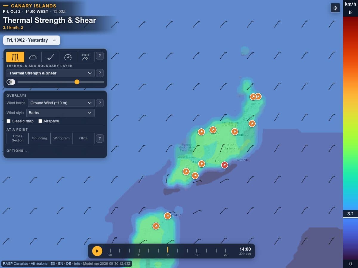
- RASP: thermals, cloudbase and wind through the boundary layer.
- When to paraglide in Lanzarote and Reading the forecast before you drive out.