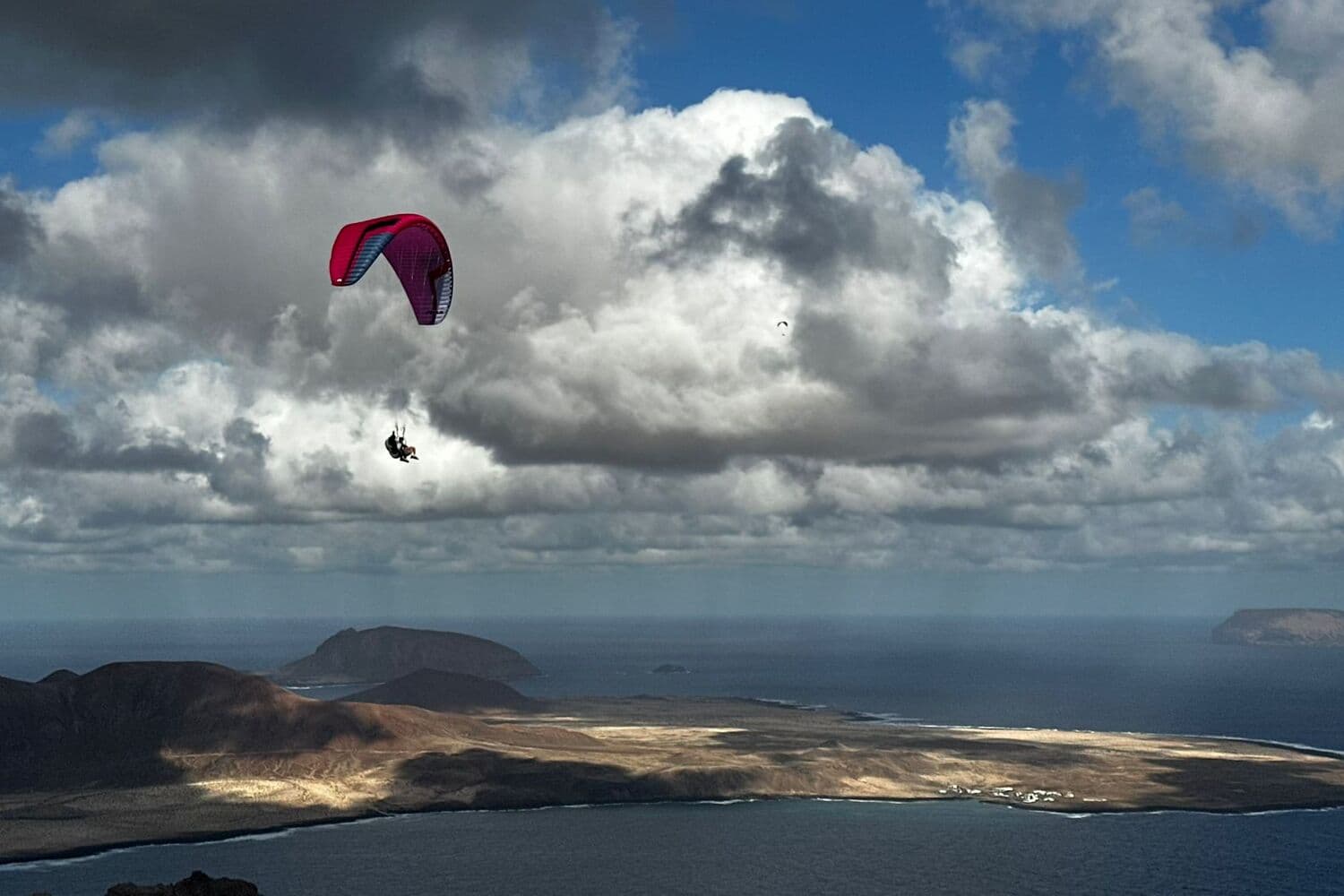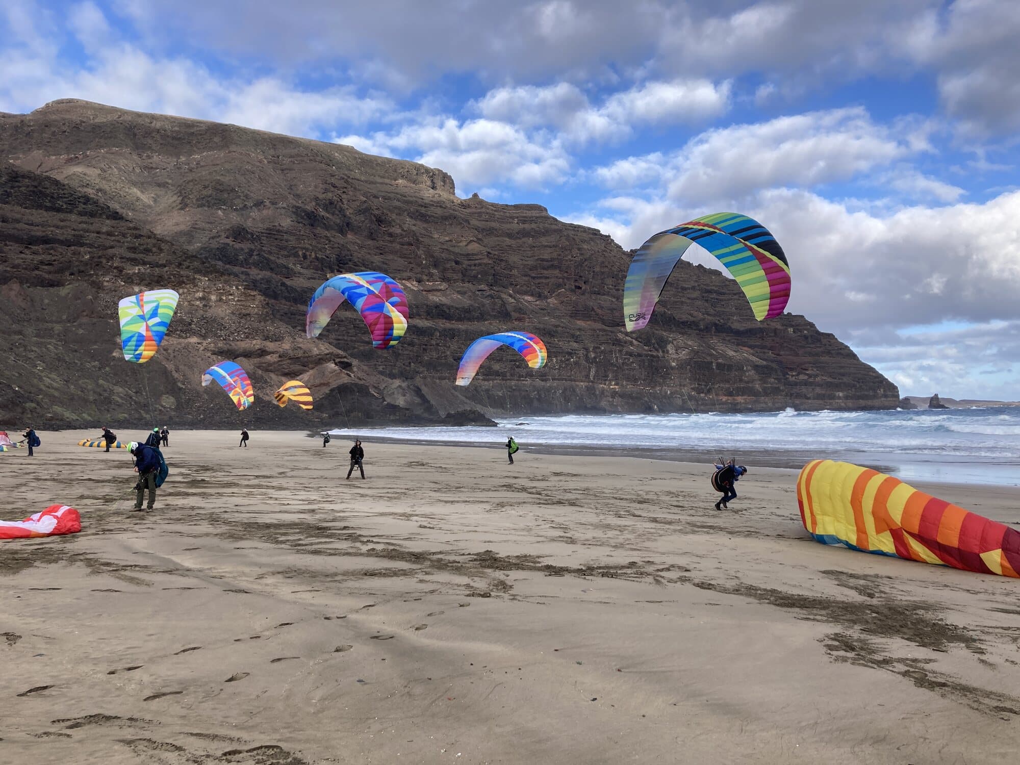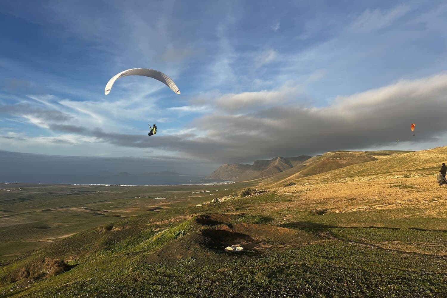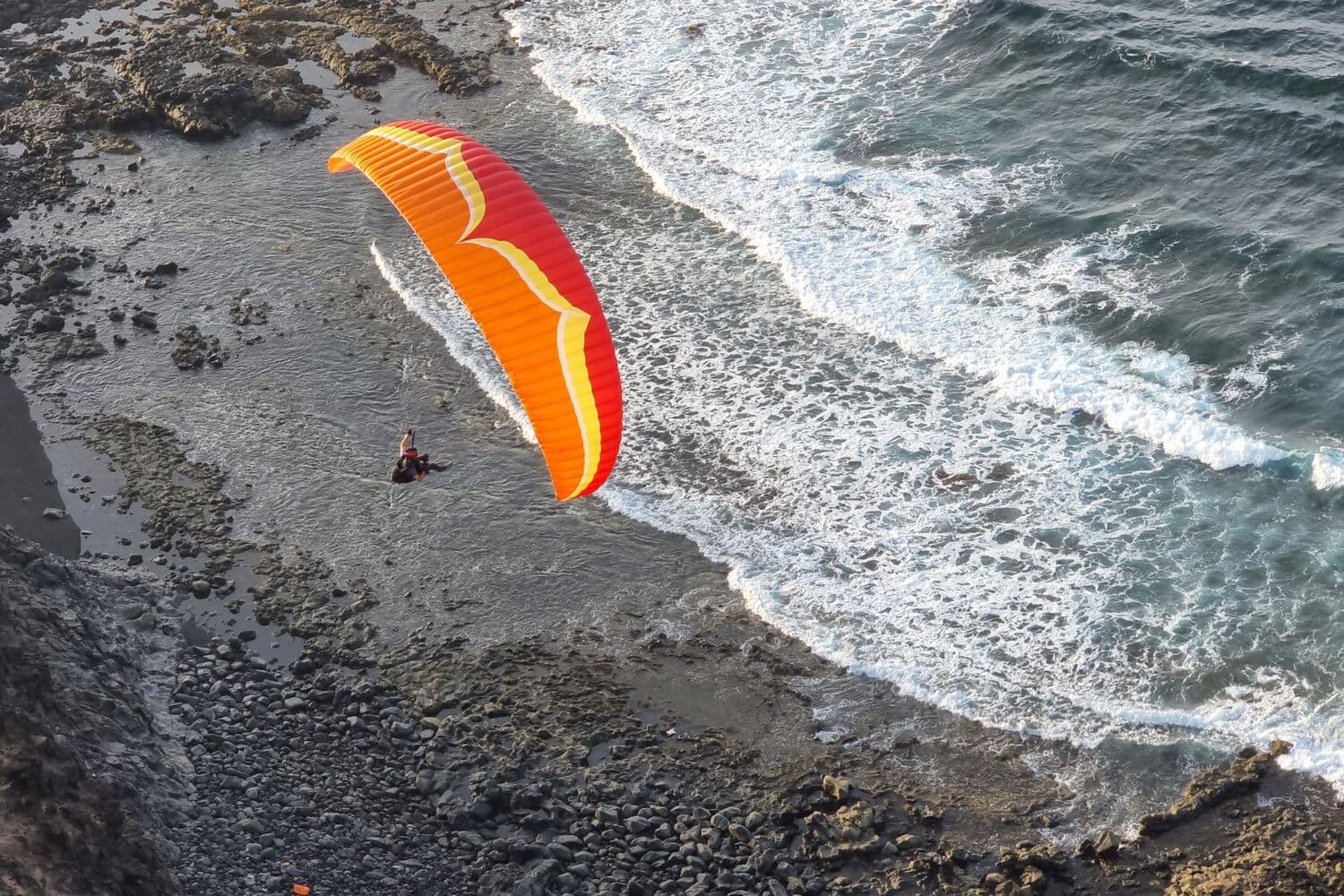
Lanzarote has a site for almost every wind direction, so the question is rarely "can I fly today?" and more often "where?". Here is the routine we use to answer it, in the order we do it, with the tools on this site.
1. Start with the direction
Every site on the island works in a window of wind directions and nowhere else. The direction narrows twelve sites down to two or three before you look at anything else.
The wind rose on the home page shows each site's window, with today's forecast wind drawn across it. In short:
- North-north-east to north-east (the usual trade wind): the Mirador and Órzola at the northern tip.
- North-east to east: Mala in the north, Macher in the south.
- East to south-south-east: Playa Quemada on the south coast.
- North-west to north: the Famara cliff (Los Pechos, Chimida, Las Nieves), plus Tenesar and El Cuchillo, which also take a little east of north.
- South to south-west: Papagayo and Maciot/Femés.
Look at the direction through the day, not just the morning. A wind that veers or backs by 30 degrees moves you to the next site along the coast.
2. Then the strength
Each site also has a range of wind speed. Tenesar wants 16 to 30 km/h; Las Nieves, at the top of the Famara cliff, wants 5 to 12. The home page lists the range for every site, and the wind app gives each site a status for the day: flyable, almost, or not, with the reason ("too strong", "wrong direction").
Two things to remember about forecast wind:
- It is an average. Look at the gusts as well. A forecast of 20 km/h gusting 40 is not a 20 km/h day.
- It is a model. On an island this size, the model's wind and the wind on a particular hill can differ. That is what the stations are for.
3. Check the stations
Before you drive, look at the live stations in the wind app: what is the wind actually doing now, near the site you have in mind? If the forecast says north-west 15 and the nearest station says north-east 25, believe the station, and look again at step 1.
The wind app also shows reports from pilots who are on the hill. A report from someone standing at the takeoff beats any model.
4. For thermal days, add RASP
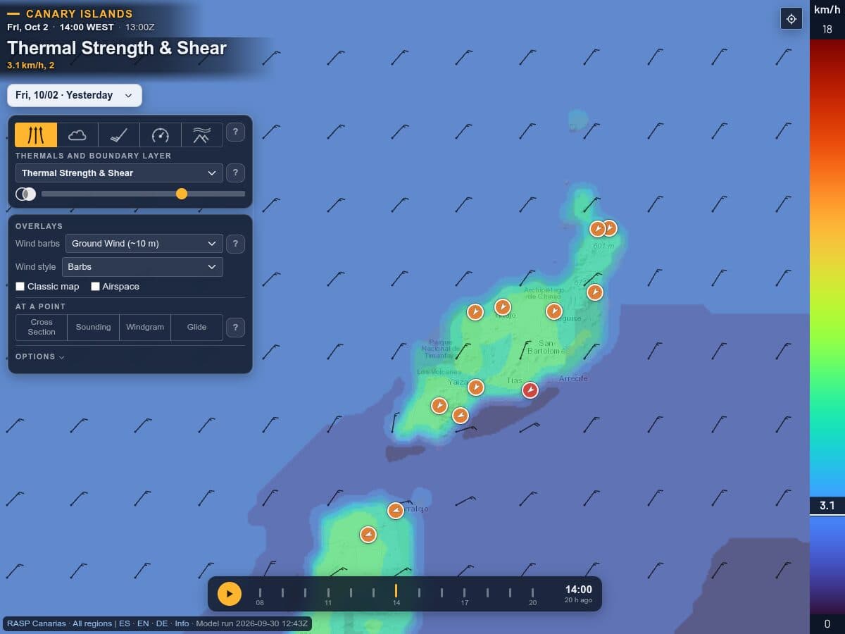
Most flying here is ridge soaring, and for that the surface wind is most of the story. On the days you hope to climb out (light winds, inland sites, winter days at Macher), look at RASP. It is a weather model run at 2 km resolution over the Canaries, hour by hour, and shows what the surface forecast cannot:
- Thermal strength: how strong the climbs should be, and when in the day they start and stop.
- Height of the boundary layer and cloudbase: how high the thermals go before they top out.
- Wind through the boundary layer: whether the wind at 500 or 1,000 m is very different from the wind on the ground. Strong wind aloft over a light surface wind is a classic way to get a rough day.
- Soundings and windgrams for any point: the whole day's profile in one picture.
5. The signs a day will not work
Some patterns we have learned to skip, or to go and look at without unpacking:
- Wind at the top of a site's range, gusting above it. The trade often picks up through the day, so a site at its limit at 10:00 can be over it by early afternoon.
- A direction between two windows. The site on each side is cross, and neither is good.
- Strong winter south-westerlies. The same lows that make the southern sites work can bring very strong, gusty wind.
- Heavy calima. Saharan dust cuts visibility and usually weakens the thermals.
6. Decide, and keep a plan B
Pick the site that fits the direction and strength best, and the one next to it along the coast in case the wind shifts. Then go and look. The forecast decides whether it is worth driving; the wind on the takeoff decides whether you fly.
The tools: wind app for stations, site forecasts and pilot reports; RASP for thermals and the wind aloft; the site guide for takeoffs, landings and hazards.